
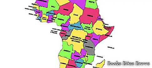
Speaking of Africa, general geography indicates one of the seven parts into which the world is divided, extended in latitude for about 72 degrees and in longitude for about 69 degrees.
Islands and borders Africa
It has a compact shape, with the northern section massive and expanded towards the west and a southern section in the shape of a trinagle with the apex facing South.
Its coasts, which extend for about 30,000 km, are largely flat and low in the north, art and steep in the south.
Some islands are part of the African continent including Madagascar, the Comoros, Seychelles and Socotra in the Indian Ocean; the island of Madeira, the Canaries, Ascension, Sant’Elena, Cape Verde, Bioko and Sao Tomé in the Atlantic Ocean.
The borders of Africa are mainly maritime since this continent is united with Eurasia only through the Suez canal.
To the north has the Mediterranean Sea, to the east the Indian Ocean and the Red Sea, to the west the Atlantic Ocean.
Its territory, which has a maximum width and length of approximately 7500 and 8000 km respectively, extends over more than 30 million square km, equal to about a fifth of the land.


